Easy Navigation in Smallworld GIS
The ITS Toolbox Navigation includes various tools to enhance Smallworld GIS navigation functions. Different tools are available to display map contents, for example, selecting addresses, land parcels and assets. These functions are directly available in the Toolbar within Smallworld GIS.
- Quick navigation to specific map contents
- Navigation via address, land parcel and asset
- Various address options (road, intersection, house number)
- Available as separate toolbar or dialogue
- Object visibility is automatically adjusted
Product Description
ITS Navigation Bar
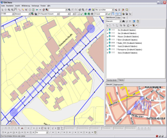
The ITS Navigation Bar offers quick navigation tools for various objects. Is is possible to restrict feature classes that are displayed to certain users when conducting a search. The number of search criteria that can be entered into the search field depends on each feature class. For address navigation, users have to enter the district, road name and house number. When navigating to the object, it can either be selected or highlighted. Furthermore, if a target object is not visible, it is possible to configure alternative feature classes to be displayed in the map.
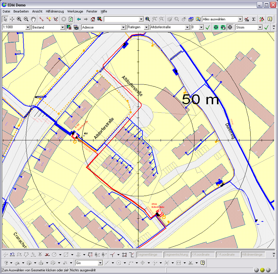
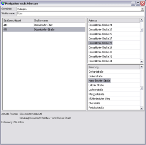
ITS Address Navigation
Users can navigate to addresses using the module ITS Address Navigation. After entering the district, the road name can be found with the help of wildcards. Once the desired road is selected, a list of house numbers and intersections is displayed for the user to navigate to. In addition, when selecting an address, the distance to the last address search is displayed and shown in the map.
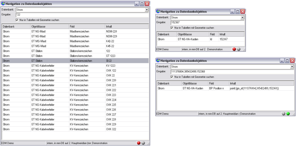
ITS Database Navigation
Users can navigate to specific Smallworld database content via the ITS module Database Navigation. After selecting a database and inserting text into the search field, all key fields and indexed fields are scanned for relevant information. For example, a user can search for a specific registration number in the electricty database without knowing where this information is saved.
Furthermore, users can also directly search for object IDs (for carrying out tasks based on object lists), URNs (for identifying Smallworld Objects in grid analysis software) or for internal RWO geometry IDs and topological elements as well as RWOs with no data (these occur in error messages). The map content is displayed in combination with the object editor when double clicking on a search result.
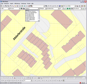
ITS Map Centre
The module ITS Map Centre improves map interpretation. The map centre is always based on objects used for navigation.